/ Drei Medien. Eine Linie.

Die Welt aus einem Winkel betrachtet, den man gesehen haben muss.

Flugvideos, Luftfotografie und interaktive 360°-Sphären
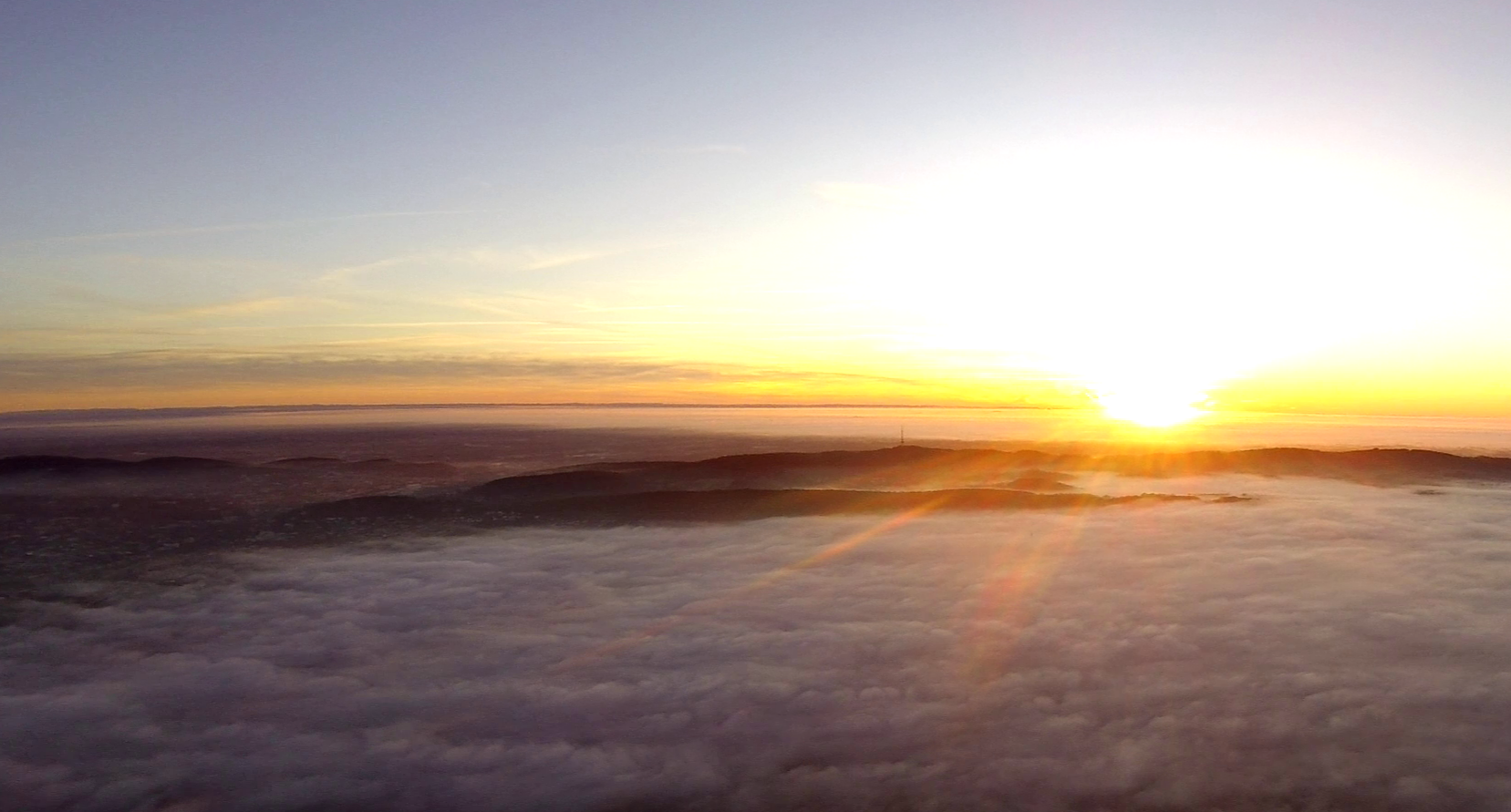
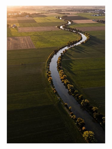
Aerial still photograph from drone altitude looking down over a patchwork of agricultural fields and a winding river at golden hour, precise tonal range, natural light, no people, landscape geometry clearly defined
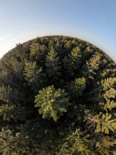
360 degree spherical panorama render from altitude above a forest clearing, full environmental sphere visible, equirectangular projection showing sky above and treetops below, natural light, calm and still atmosphere, no people
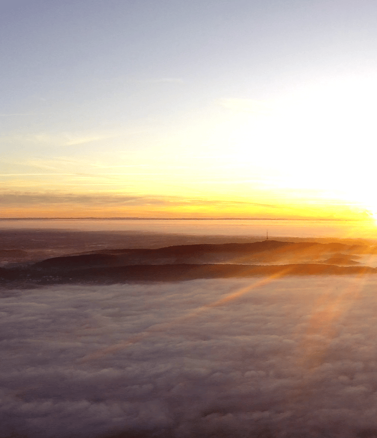
Flugvideos
Fotografie
360° Panoramen

Kinetische Präzision in Bewegung — räumliche Geometrie bei Geschwindigkeit gelesen.

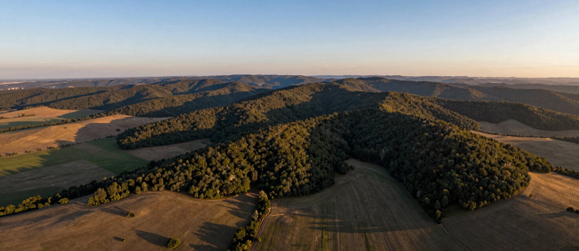
Luftbilder mit räumlicher Absicht — Landschaft als Struktur, nicht als Kulisse.

Interaktive Sphären: die kontemplative Stille, die Geschwindigkeit verbirgt.

Hinter der Arbeit steht ein Pilot mit klarer Methode. Wer wissen will, wie die Linien gewählt werden — hier.